2018 Conference
2018 Conference
Conference name: Entering a New Era in Forest Observation and Analysis
Dates: 1-5 October 2018
Location: College Park, Maryland, USA
Venue: College Park, Maryland, USA
Host: University of Maryland and NASA Goddard Spaceflight Center
Organizing lead: Ralph Dubayah, University of Maryland and Jeff Masek, NASA Goddard Spaceflight Center
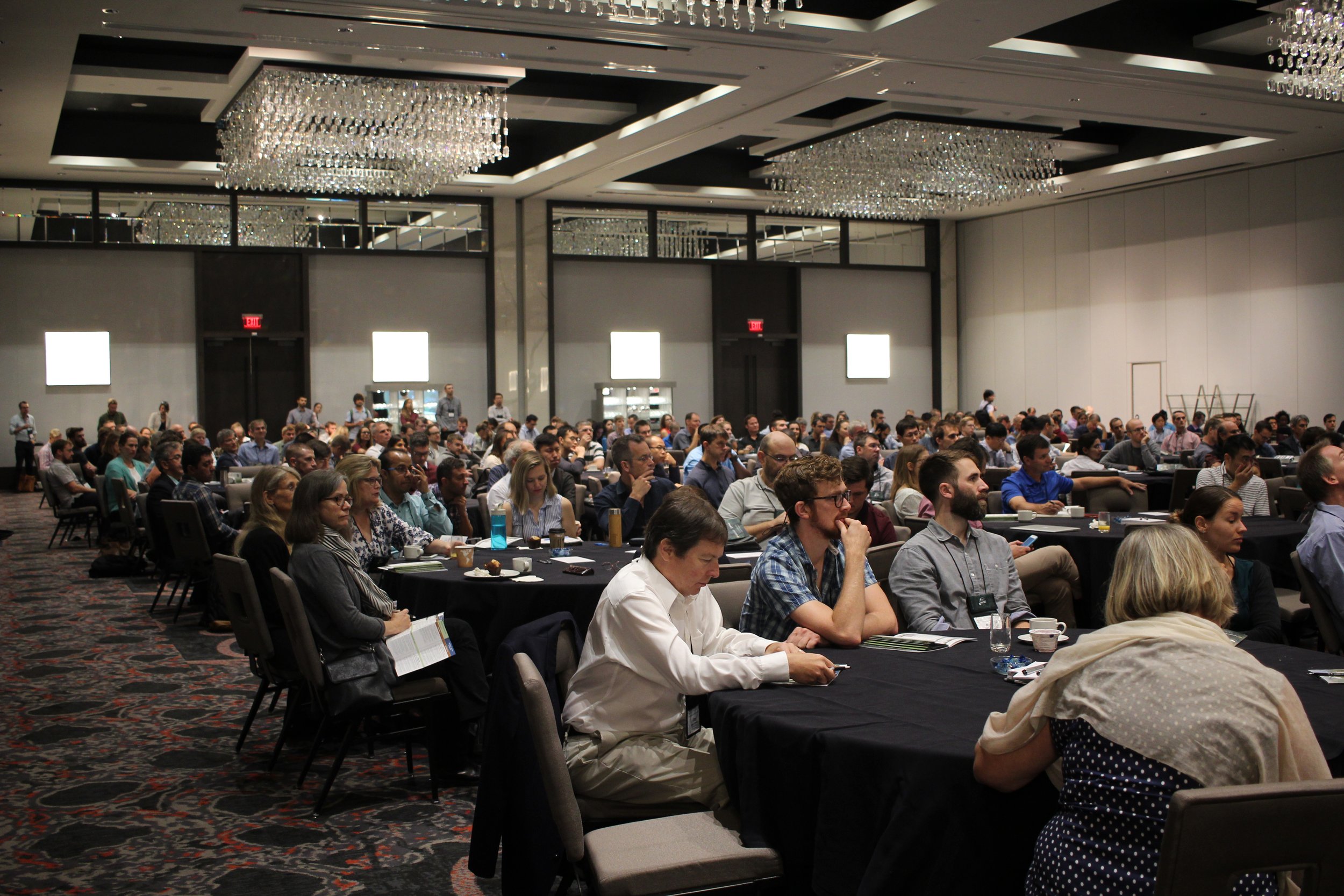
Attendees (approximate): 475 registrants from 40 countries
About: The biennial ForestSAT conference has emerged as the leading international gathering of researchers, practitioners and stakeholders interested in the development and use of established and emerging technologies for the observation and analysis of forests. ForestSAT2018 marks the eighth meeting of this conference, which provides a forum for discovery and discussion of the latest research in remote sensing and geomatics for forestry applications. The ongoing and expected launch of a next generation of satellite remote sensing systems, the explosion of drone-based and in-situ network forest observation systems, and the ability to fuse and mine large quantities of data from these sources is revolutionizing how we monitor and model forests. ForestSAT 2018 brings its participants to the forefront of this revolution. ForestSAT 2018 has five thematic areas focused on capturing these new observations and approaches in the application of spatial of analysis technologies in forestry: (1) global forest observation; (2) new approaches to forest ecosystem modeling; (3) remote sensing fusion; (4) forest mapping and inventory; (5) forest management and policy.
Thematic Areas :
(1) Global Forest Observation: 2018 begins an exciting time for satellite observations of global forests and their role in the earth system, including the upcoming launches of the NASA ICESat-2 (2018), NASA GEDI (2019), ESA BIOMASS (2021), NASA-ISRO NISAR (2022), along with the constellation of existing systems, such as DLR TanDEM-X, JAXA ALOS missions, ESA Copernicus missions, and NASA Landsat. ForestSAT 2018 looks forward to applying these data sets to better understand global forest extent, biomass, and ecosystem dynamics.
(2) New Approaches to Forest Ecosystem Modeling: How will new observations of forest composition, structure, and dynamics be used to improve our understanding of forest ecosystems? One key path forward is through the marriage of new remote sensing data with ecosystem process models to understand forest dynamics and better forecast changes in productivity, biodiversity, carbon and water fluxes and other critical attributes.
(3) The Revolution in Remote Sensing Fusion: One of the key opportunities and difficult challenges is the development of new methods for combining airborne and spaceborne optical, SAR and lidar datasets. Each of these broad classes of remote sensing technology encompass a variety of instruments, operating at different wavelengths and spatial resolutions that present unique challenges for fusion and interoperability. These new methods will span multiple spatial and temporal scales and will also include in-situ and drone-based proximal remote sensing.
(4) Forest Mapping and Inventory: Mapping and inventory methods are changing rapidly, reflecting new data sources, new statistical approaches, and the advent of machine learning. New approaches are appearing for mapping forest types, species, biomass, structure, biodiversity indicators and ecosystems services. Development of systems for monitoring of regeneration, degradation, regrowth, succession, encroachment, gap dynamics, and invasive species are a key priority. Such activities are increasingly relying on big data and open source/data solutions, cloud-based processing, remote sensing guided statistical inference and uncertainty analysis, and integration with field inventory databases.
(5) Forest Management and Policy: Accurate forest information is increasingly relevant to policies that seek to preserve and enhance ecosystem services. Examples include UN Sustainable Development Goals, and international agreements on carbon sequestration (e.g. REDD+), and vegetation management policy implemented by natural resource management agencies in local/state Government. Use of geospatial analysis, novel approaches to forest inventories, and remote sensing play key roles in establishing rigorous baselines for policy assessments, but challenges remain in quantifying and communicating uncertainty.
Keynote speakers:
Dr. Frances Seymour, Distinguished Senior Fellow, World Resources Institute
Dr. Tom Crowther, Assistant professor of Global Ecosystem Ecology, ETH Zurich / Dr. Jean-Francois Bastin, Remote Sensing and Global Change Ecology, ETH Zurich
Industry panel: Dr. Iain Woodhouse, Carbomap; Tara O’Shea, Planet; Noel Gorelick, Google
Dr. Peter Scarth, Senior Research Scientist, University of Queensland / Dr. David Schimel, Research Scientist, Jet Propulsion Laboratory, California Institute of Technology
Agenda/Program: ForestSAT2018 Program
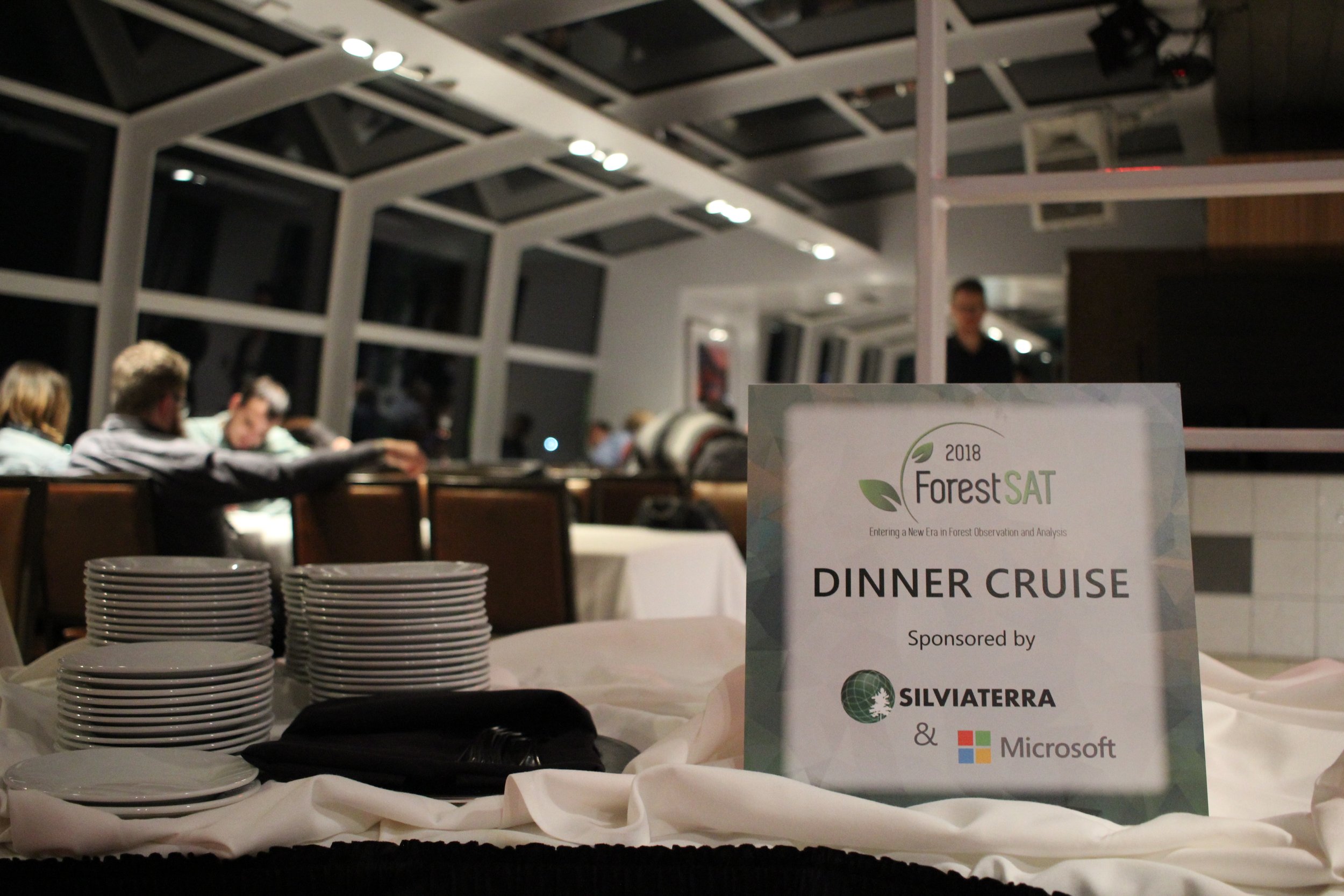
Prices: Early bird regular registration $500; Early bird student registration $350; Early bird one day registration $250; Regular registration $600; Student registration $450; One day registration $300; On-site regular registration $625; On-site student registration $475; On-site one day registration $325; Poster reception ticket (Guest) $45; Conference dinner ticket (Dinner Cruise) $75