ForestSAT originated as a spin‑off from the EU LIFE project ForestSAFE, which sought to leverage satellite imagery and other spatial technologies in forestry applications to support environmental protection. At the project’s outset in 2002, Forest Research (UK) was tasked with organizing an international event in Edinburgh, led by Juan Suárez. This first ForestSAT conference emerged from the need to establish a bridge between the scientific community and the large group of foresters eager for operational applications of Earth observation and spatial analysis tools.
Following the inaugural 2002 meeting in Edinburgh, a second ForestSAFE event was hosted in 2005 in Borås, Sweden, by Håkan Olsson of the Swedish University of Agricultural Sciences (SLU) and the Swedish Forest Agency. These gatherings sparked discussions about continuing ForestSAT as a recurring conference series.
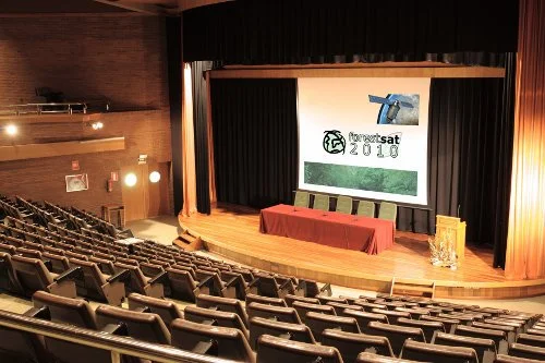
Michel Deshayes of the École Nationale du Génie Rural des Eaux et des Forêts (ENGREF) volunteered to organize the 2007 edition in Montpellier, followed by David Miranda of the Universidad Santiago de Compostela hosting the 2010 meeting in Lugo.

Juan Suarez
From that point forward, ForestSAT conferences were held every two years at locations around the world. For over a decade, an informal group of colleagues and volunteer hosts carried the ForestSAT torch, sustaining a conference that steadily grew in size, scope, and global reach. The meetings embraced emerging spatial technologies, showcased advances in remote sensing, and broadened their audience well beyond the originally European base.
By 2014, it had become clear that the expanding ForestSAT community would benefit from a formal organizational structure to ensure continuity, maintain the high quality of the biennial conferences, and support new initiatives. In 2015, the Association for Forest Spatial Analysis Technologies (ForestSAT) was formally established, with an organizational constitution adopted that December.
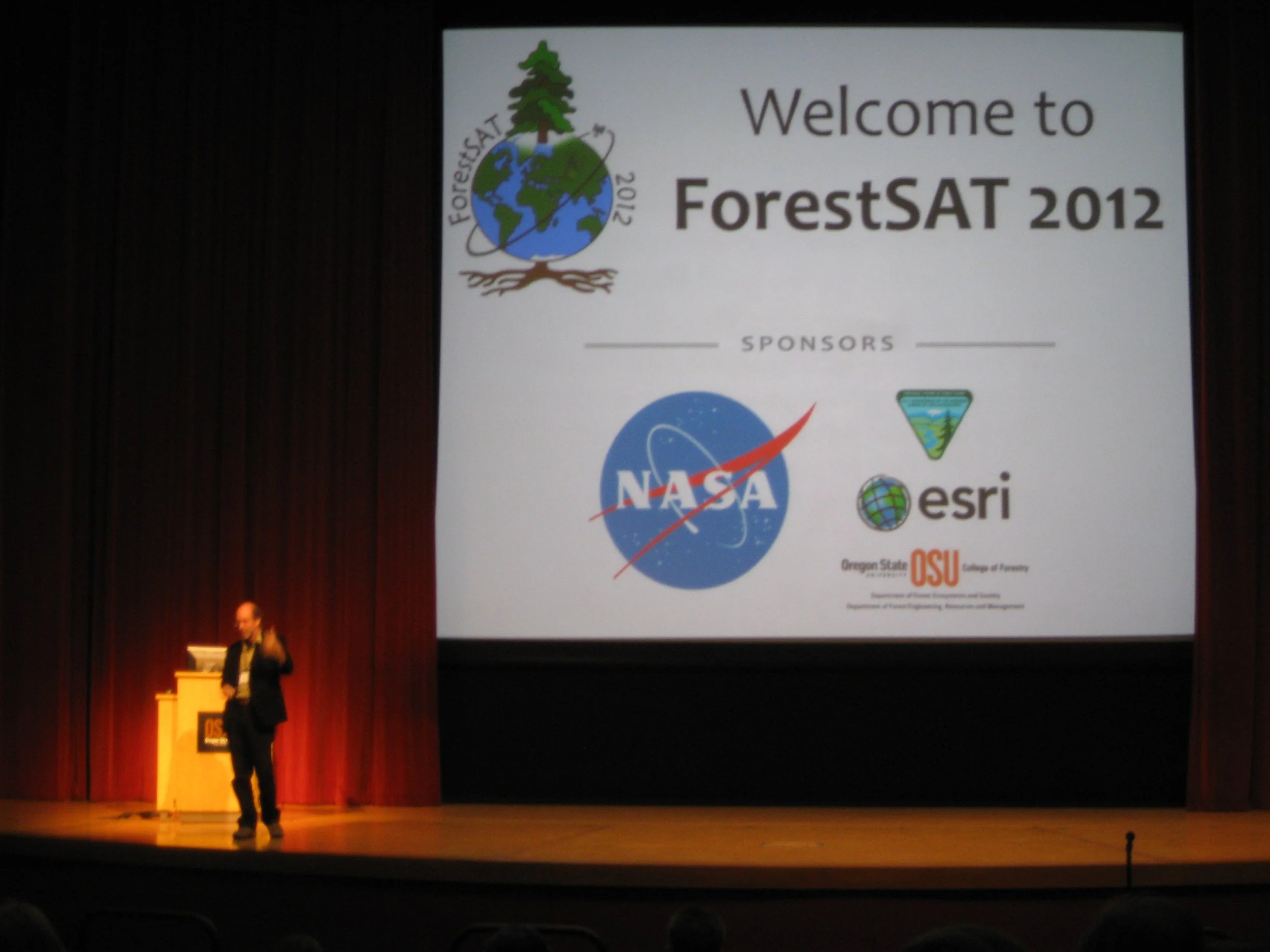
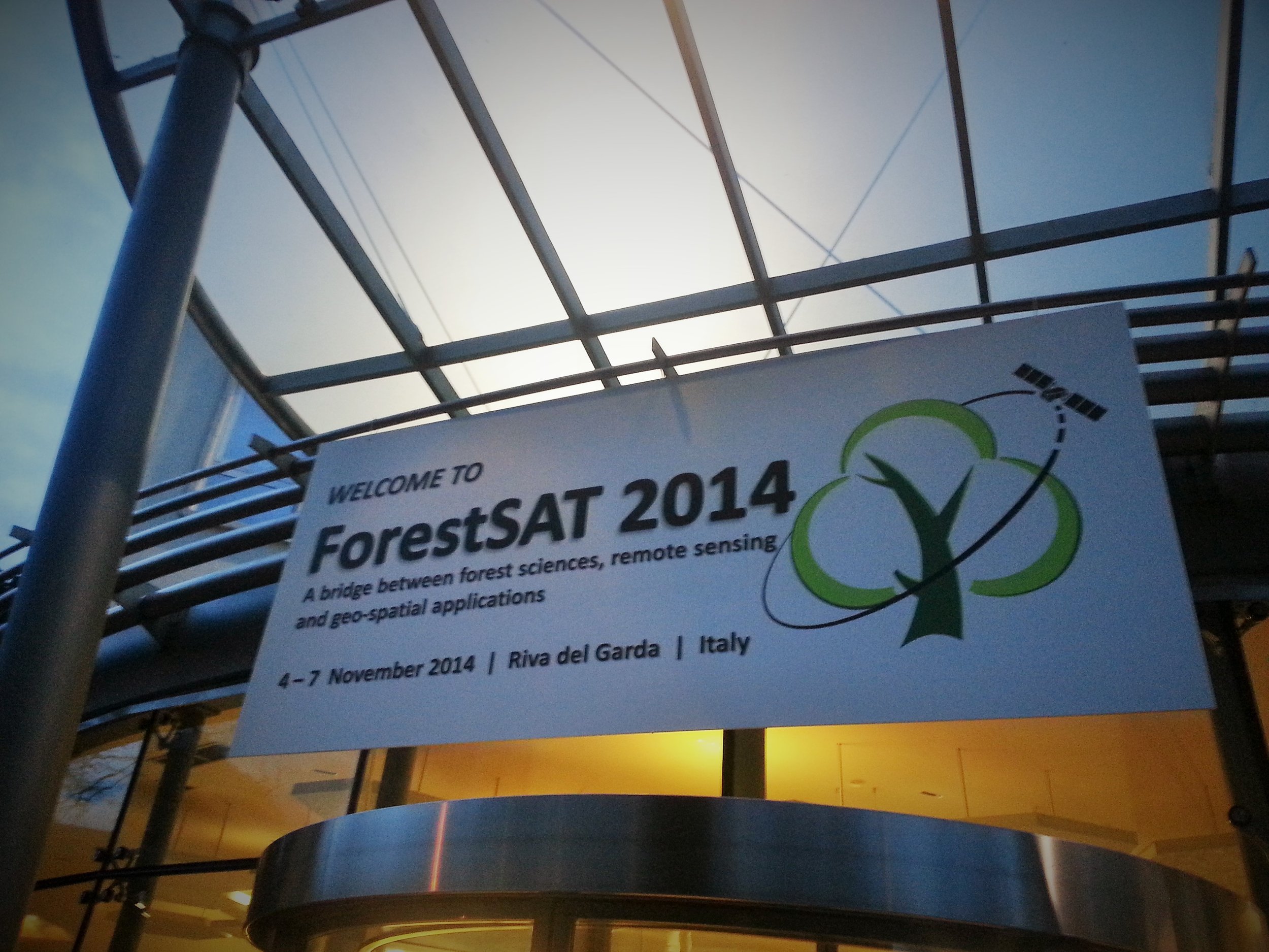
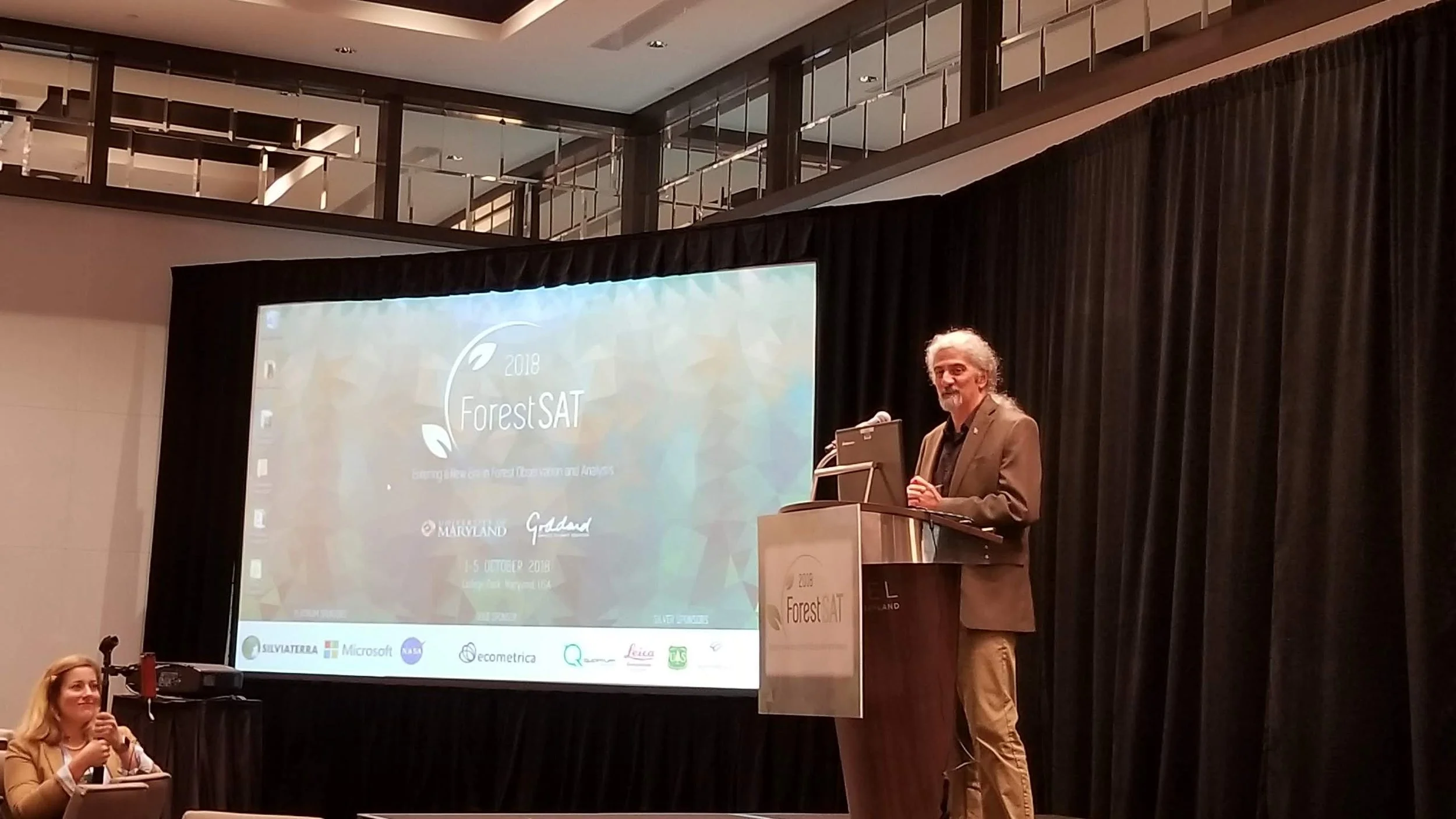
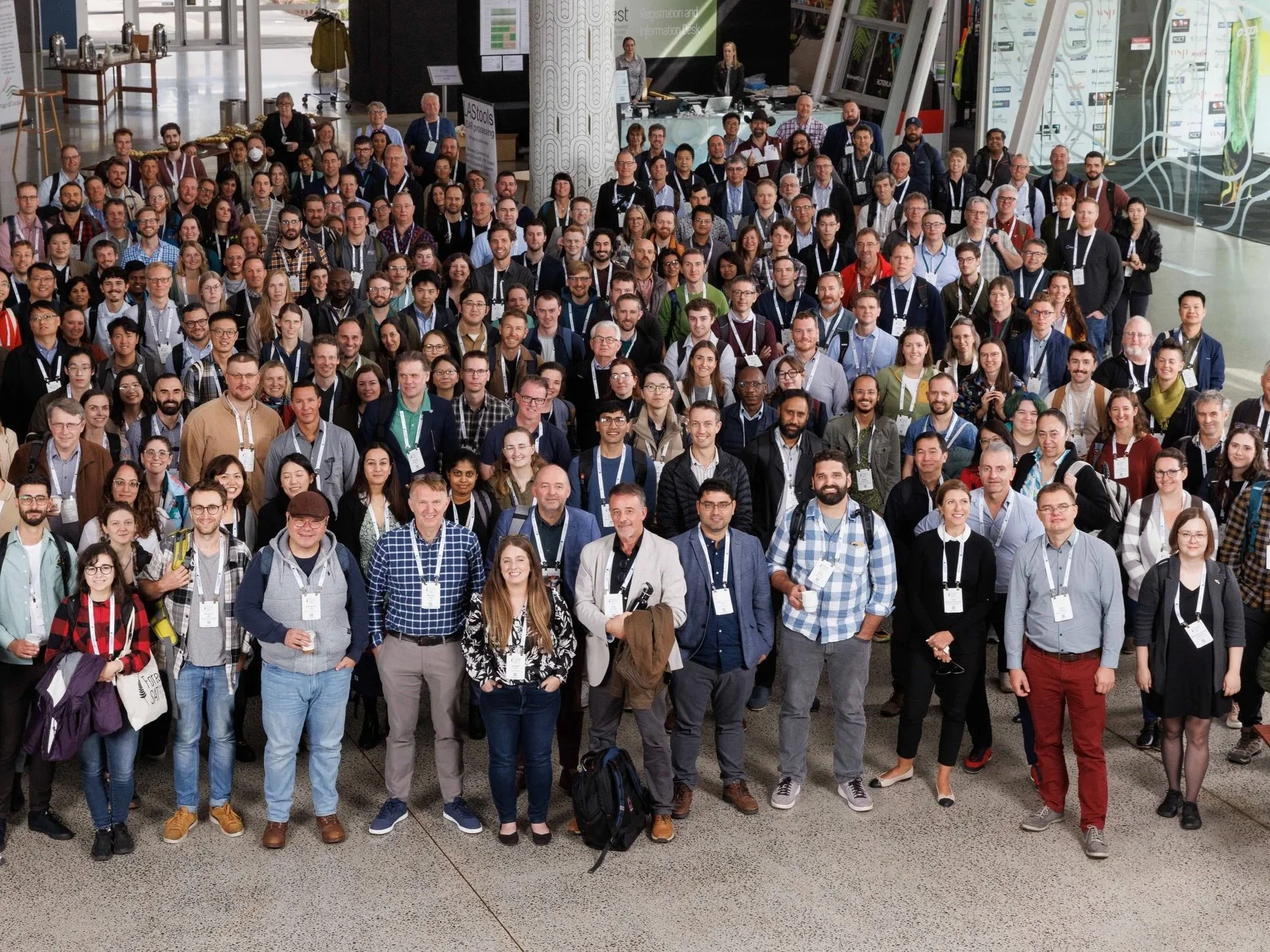
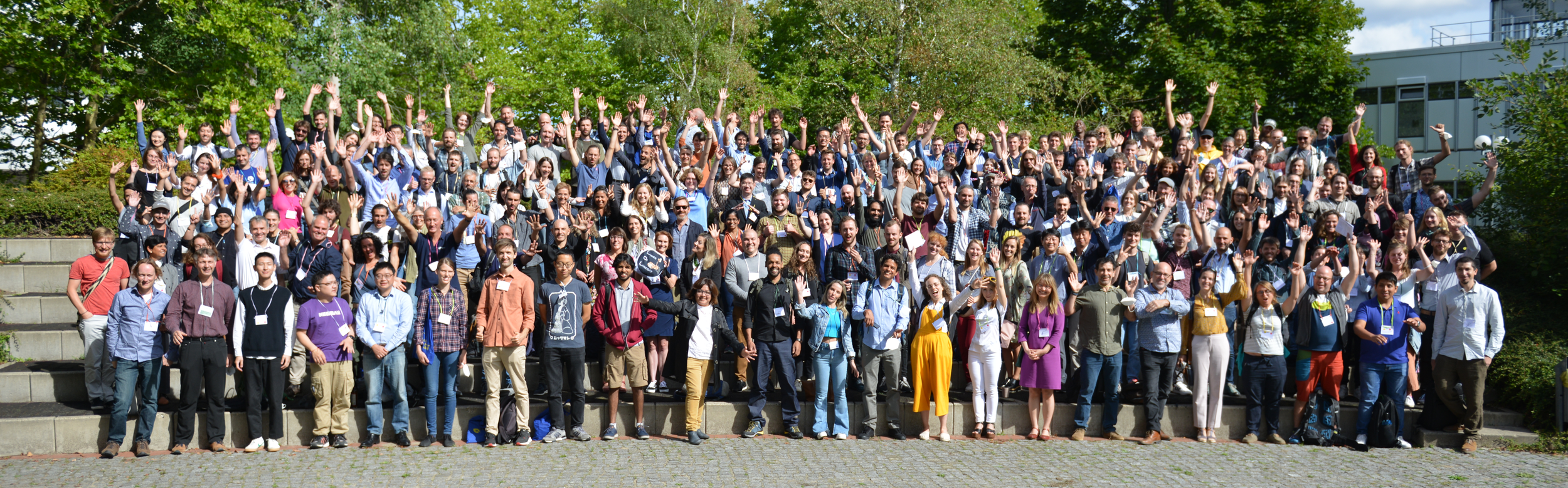
To date, ten international ForestSAT conferences have been held on four continents, with participation increasing at every edition. While the early conferences were held in Europe, ForestSAT 2012 and 2018 were staged in the USA (Corvallis and Maryland) and the 2016 conference took place in Santiago, Chile. ForestSAT has a policy of rotating the conference location between continents. Hence, the tenth conference was held in Rotorua, New Zealand, from 9–13 September 2024, the next will take place in Gainesville, Florida, in May 2026. The 2028 conference will be held in Europe.
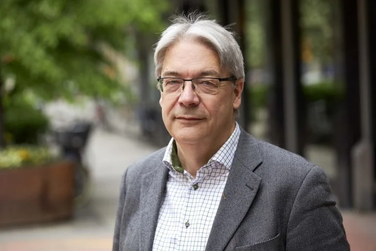
Reflecting on ForestSAT’s origins and evolution, Juan Suárez—host of the inaugural meeting and Chair of the ForestSAT Board of Directors from 2015 to 2022—explained:
“ForestSAT was conceived as a meeting point for developers, foresters, academics, and industry representatives. The name ForestSAT refers to Spatial Application (later Analysis) Technologies in Forestry. The original concept sought to integrate all forms of remote sensing and spatial technologies across diverse forestry applications. This encompassed not only remote sensing but also spatial information technologies, with the aim of bridging the gap between data derived from various sensors and its incorporation into decision-support systems. We aspired to showcase new scientific developments and tools, as well as successful examples of remote sensing being embedded within organisational workflows. The overarching goal was to create a shared platform for exploring synergies and the vast potential offered by emerging technologies in forest management.”
Hakan Olssson
Juan further reflects on the important contributions of ForestSAT:
“The most important achievement has been the sense of community that has grown and consolidated over more than twenty years. Looking ahead, the possibilities are limitless, and I am certain that we will continue to attract enthusiastic and committed members who will create value for what is now a truly global community.”